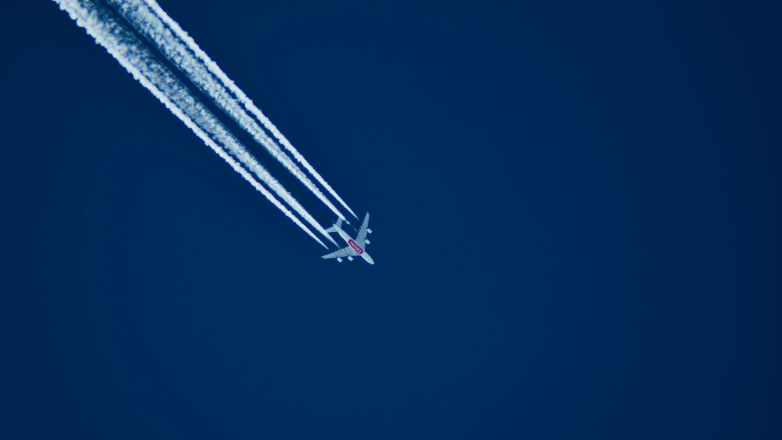
On a map, some flight paths look like unnecessary detours. In reality, they are rarely random. Earth’s shape, high-altitude winds, weather, closed airspace and air-traffic-control constraints all mean that the shortest-looking line is not always the best route.
The Earth is round, maps are flat
The shortest path between two points on a sphere follows a great-circle route. When that path is projected onto a flat map, it can look like a large curve to the north or south.
This is especially obvious on long-haul routes. Flights between Europe and North America may appear to arc towards Iceland, Greenland or Canada even though the actual path is close to the shortest possible route on the globe.
A longer distance can sometimes be faster
At cruising altitude, strong winds can dramatically change the most efficient route. The best-known example is the jet stream, which generally flows from west to east.
Aircraft travelling with a strong tailwind can increase ground speed and reduce fuel burn. Aircraft travelling against it may choose a different track to avoid the strongest headwinds.
That is one reason why Paris–New York and New York–Paris can have different flight times despite connecting the same airports.
The sky is not completely open
Airliners cannot simply cross every part of the airspace. Some areas are prohibited, temporarily closed, reserved for military activity or restricted because of conflict, major events or government decisions.
Flight planning therefore depends on what airspace is actually available. In Europe, EUROCONTROL coordinates a vast system of routes, sectors and traffic-management procedures.
Airways work a little like motorways
For decades, much of commercial aviation followed predefined airways linking navigation points. The idea is broadly comparable to a motorway network: aircraft enter and leave routes at specific points to keep traffic structured and manageable for controllers.
This is changing with the expansion of Free Route Airspace, where airlines can plan more direct paths between defined points instead of following the full traditional airway structure.
Weather can alter a route within hours
Thunderstorms, turbulence, strong winds and icing risk can all force changes. Airlines may plan around large storm cells rather than attempt to cross them.
Conditions can also change after takeoff, leading air-traffic control to propose or impose rerouting for safety or traffic-flow reasons.
Airlines optimise efficiency, not geometry
Flight-planning systems consider distance, winds, fuel burn, airspace restrictions, weather and traffic simultaneously.
A route that is slightly longer in kilometres can still be quicker and cheaper if it avoids congestion or picks up favourable winds.
So when an aircraft appears to head “the wrong way” on a tracking app, the explanation is usually not inefficiency but optimisation.
Sources
FAA Aeronautical Information Manual; NOAA jet-stream guidance; EUROCONTROL Free Route Airspace.
Related: Air traffic control: why one outage can disrupt thousands of flights, for a deeper look at how route planning and ATC constraints shape real-world operations.
Leave a Reply