
Colorado DA40 Crash Final Flight Path Detailed by NTSB
The NTSB has outlined the final ADS-B track of a Diamond DA40 that crashed near Eldorado Springs, Colorado, on October 4, killing two people.
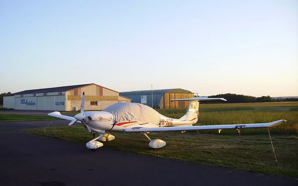
A Diamond DA40 crashed near Eldorado Springs, Colorado, on October 4, 2026, killing its pilot and passenger. The National Transportation Safety Board identifies the airplane as N162GL. Its preliminary report also describes the aircraft’s final recorded flight path near Boulder.
The NTSB has not established the cause. Its investigation CEN27LA005 provides flight-tracking information and the sequence of the search.
What the flight-tracking record shows
According to the NTSB, the airplane departed Longmont’s Vance Brand Airport at about 6:32 p.m. Mountain time. It initially flew west and then south before maneuvering southwest of Boulder. The recorded route subsequently extended northwest and returned toward the Boulder area.
At about 8:36 p.m., the aircraft returned to the Boulder area. It maneuvered between approximately 7,500 and 11,000 feet above mean sea level. The final Automatic Dependent Surveillance-Broadcast (ADS-B) point appeared at 9:29:39 p.m., about a mile north of Eldorado Springs, at roughly 7,375 feet.
Search teams located the wreckage the next morning
A satellite-assisted rescue network detected the aircraft’s emergency locator transmitter at about 9:31 p.m. The Air Force Rescue Coordination Center received notice one minute later. The federal preliminary record places the sheriff’s notification at 9:43 p.m.
Searchers found the wreckage at about 10:16 a.m. the following day. The accident site lay in mountainous terrain about one mile west of the final ADS-B position, near an elevation of 7,360 feet.
What investigators still need to determine
The NTSB says the airplane struck rising terrain around 300 feet below a ridgeline. It did not send investigators to the difficult terrain for safety reasons. Investigators planned to examine the airframe and engine after recovery.
ADS-B traces record reported aircraft positions and altitudes, not a pilot’s intentions or the definitive cause of an accident. The preliminary flight track helps establish the timeline. However, investigators need separate evidence to assess the terrain impact and any aircraft or pilot factors. For another example of how U.S. aviation investigations distinguish initial observations from outcomes, see AeroSillage’s report on a Mesa Airlines landing incident.
Read next

JOIN THE CONVERSATION
Let’s discuss this story.
A question, a clarification or a different perspective? Share it with us.